Category Archives: California

The morning quality in the mountains.

2018

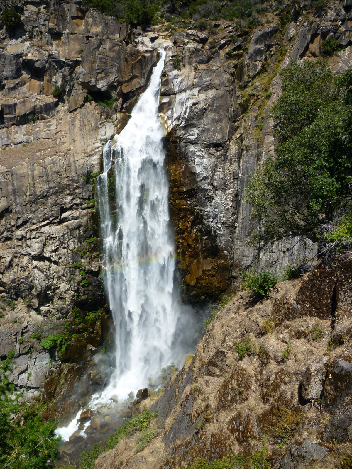
Yesterday I drove all day to get up to my family’s cabin in the high mountains. The journey was as easy as it could have been, and I arrived late afternoon instead of at dusk. But to say “easy” when talking about what I did — maybe I should have said it was less difficult than it might have been.

To maneuver a heavy machine at high speed through mazes of highways and byways, trying not to collide with any other machines carrying their tender human cargo, requires a huge amount of mental work, most of which seems to be unconscious, because I don’t feel it at the time. And the body, while sitting relatively immobile in a position some of the joints and sinews don’t appreciate, must still be poised to respond moment by moment to what information the eyes strain to get through the dirty windshield.

As soon as I walked through the door of the cabin I felt the extreme weariness of the effort, combined with the altitude that by itself makes everyone sleepy (8200 feet). I went to bed early and slept like a log of Lodgepole Pine.

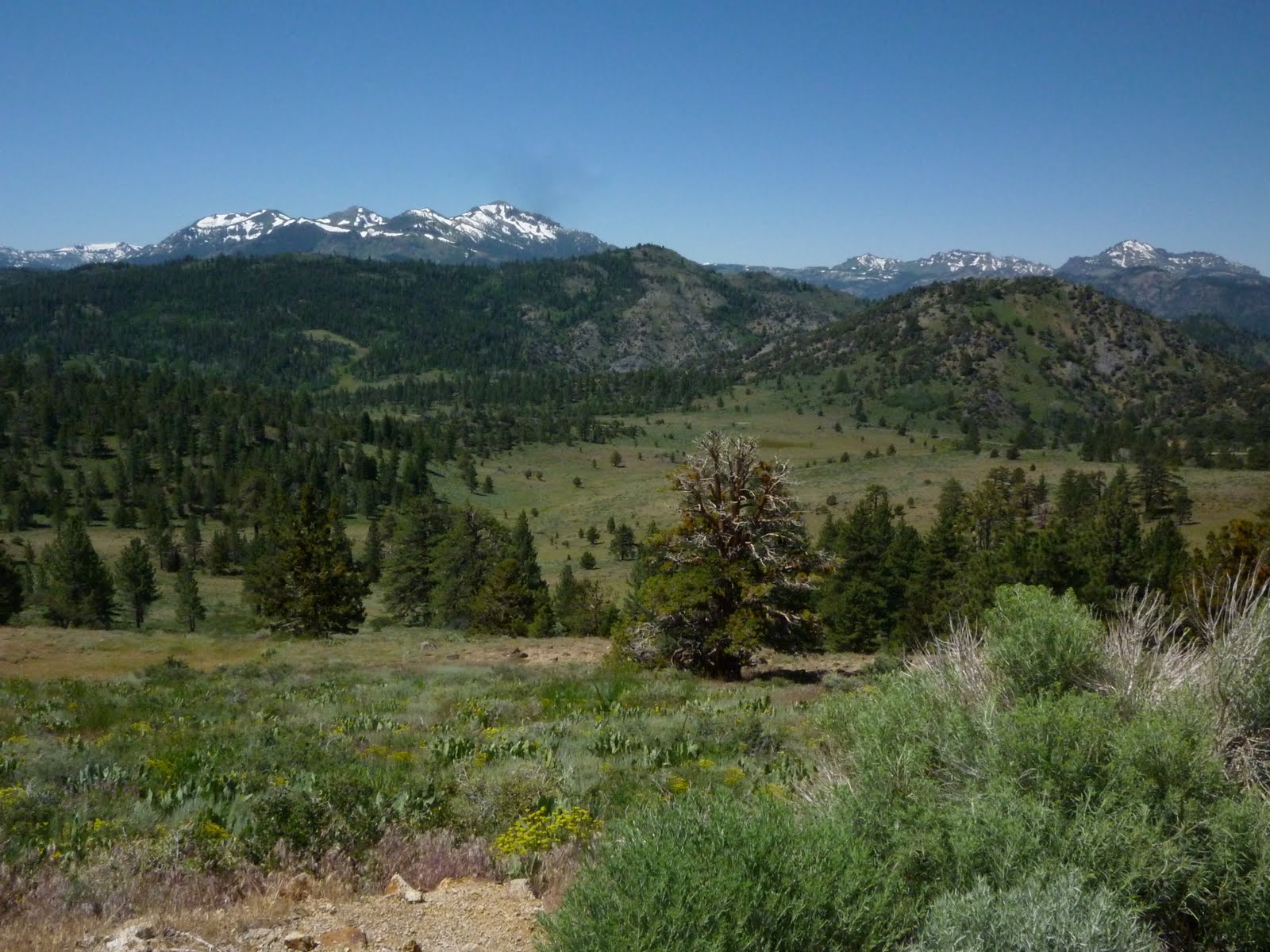
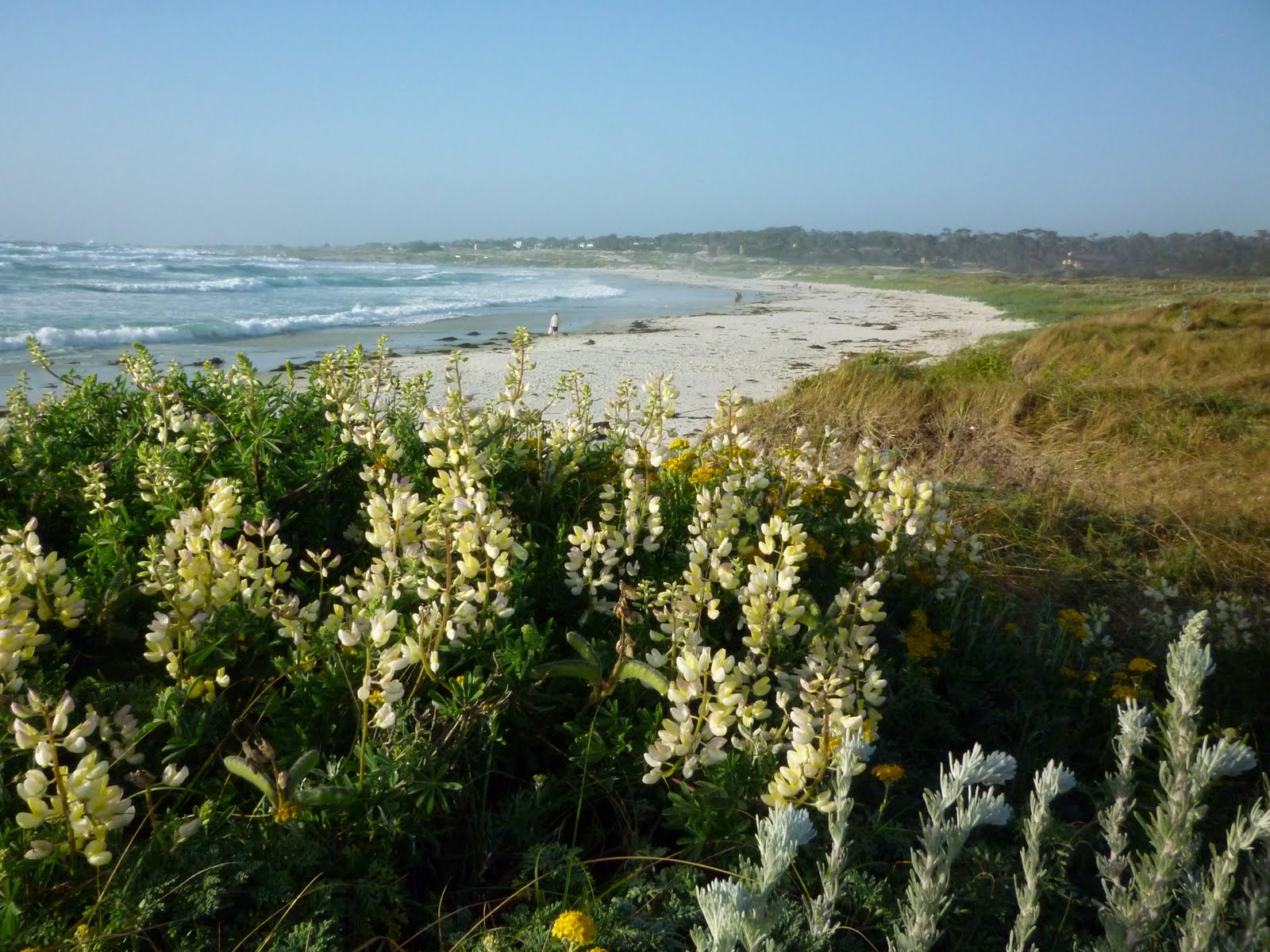
This morning it’s blue skies I’m seeing as I sit on the deck, along with a blue dragonfly, a blue jay, and an occasional hummingbird. Chipmunks are chirping, and down below chain saws are roaring as men work to thin out some of the trees among the group of cabins, to lessen fire danger. The air is warm and soft, and will probably be about 30 degrees cooler than in the Central Valley that I drove through to get here.

I love just being in this mountain refuge, but since I started coming alone I usually have unrealistic goals for how I will use what seems from the lowlands like an extravagant amount of free time. This year I feel rather that Less is More; other than wanting to read and write in a more focused way for a few days, I don’t expect great feats. Of course I want to pay attention. Just now, as the sun and the saws draw the conifer essence into the air, I notice it becoming more aromatic. Now we’re talking easy!

Lodgepole Pine and Red Fir

California Mountains – How Not to Enjoy a Hike


If it weren’t for our friend Myriah, this hike would have been a huge disappointment. As it turned out, it was a shared adventure that made me thankful for my friend and for my husband.

Just thinking about the hike to Feather Falls makes me very tired, and that makes me want to write only a short list of ways Not to Enjoy a Hike. Because I did not enjoy the hike itself — only the companions. Sad to say, the short list turned into a pretty extensive one.

How Not to Enjoy a Hike

1. Pick a trail that has its descent on the way in, so that even during the first few easy miles, when you are at your freshest, you can be thinking, “What trail goes down, must rise again,” making it possible to imagine the misery you will know later when you have to hike steeply uphill the last four or five miles back to your car. Even a vague dread of the near future can ruin the present pretty effectively.

Red Ribbons – Clarkia concinna

2. Do it in July and the weather will be as hot as possible. Don’t bring too much water; you want to get dehydrated.

3. Plan to take your baking-dry and long hike just a couple of days after spending time in high places where you got used to singing rivulets of snowmelt all around you. This will encourage you to compare your lower-elevation hike unfavorably with recent ones, to keep your attitude complainy.

4. Hike on a trail that claims to takes you to a tall waterfall (the 2nd highest in California), so that when you are dripping sweat and collecting dust you can look forward to the cool mist that will revive you.

This way, when you discover that the end of the trail is at an overlook so far from the water you think it’s a mirage, you will have the maximum letdown.

It helps, if while looking at the waterfall with your tongue hanging out, you have to sit down in the dirt to avoid sunburn and the jostling of other hikers.

Tincture Plant – Collinsia Tinctoria

5. If there is a choice of a routes, allow only enough time for a long-legged 20-year-old to hike the shorter of the two. This way, when you get to the trailhead and find that the short route is closed, your heart can sink right away.

6. Be sure to have a dinner engagement to be late for, or some other reason to hurry through your lunch and doggedly hike your legs off, with your heart doing double-time, on that last long ascent.

Now, the things that kept me from being a total ingrate:

1. The loss of two pounds in an afternoon (even if it was 80% water).

2. Flowers to take pictures of, many conveniently in the shade of the trees, and few enough so as not to be overwhelming.

3. My dear and faithful companions, who joked with me and gave me water and snacks, and carried the knapsack.

This outing was a sort of add-on to our Sierra Nevada summer vacation. We came home for a night and then drove north to pick up Myriah before going on to our trailhead in the foothills of the northern Sierras, in the Plumas National Forest.

While trudging up those last few miles back to the car we talked about how we’d like to hike more together in the future, say, in April or October. I know that any hike in the foothills would be more pleasant during those months, but I’ll vote for going anywhere but Feather Falls.

Monkeyflower – Mimulus

California Mountains – Getting Over

I posted this photo last summer, too!

My husband and I drove our car back and forth over the Sierra Nevada mountains this month. We had several highway options, but no matter which pass we choose to chug up I am always reminded of the forebears in covered wagons going cross-country, and the more recent grandparents driving cars like this on one-lane roads. That’s my mother in the middle of this photo taken in Yosemite.

On the Monitor Pass south of Lake Tahoe
Giant Blazing Star on Monitor Pass

My little SUV has four cylinders to propel it forward, which sometimes ends up a bit slow on the steep grades, but at least we have no worries about our horses struggling through raging streams, or the possibility of our wagon tipping over or breaking a wheel on the rocks.

That is, if I can stay on the road — it’s so easy to get distracted by the wildflowers and swerve too wildly at the turnout for a photo op.

We passed over the Sierras by way of three different routes and summits this trip, and also drove over another pass that doesn’t cross those mountains.

We came at our first stop, Lake Tahoe, from the northwest, over Donner Pass. Ah, the Donner Party — what an uncomfortable story, one that raises severe ethical questions. My heart breaks for those pioneers who got bogged down and starved in the snow. Patty Reed’s Doll is a book that somehow manages to tell the tale for children. I recently gave it to granddaughter Annie for her birthday.

Leaving Tahoe after camping for two days, we took the Monitor Pass to the eastern side of the Sierras. Its summit is over 8,000 ft. At the top one drives through rolling “hills” as pictured above, with a mixture of meadows, conifers and sagebrush, and wildflowers galore.

Continuing south on Hwy 395 we rose above 8,000 feet again to get over the Conway Summit, a pass that doesn’t take you as the others do in a generally east-west direction, but gets you over a plateau just north of Mono Lake.

One might ask why we would want to go to all the trouble of climbing mountain passes on pavement, just to go on a hike…Why not ascend on the closer, western side? Well, if one likes to visit the highest altitudes, but doesn’t want to get sore feet walking for days, the smartest thing is to let your car do the work of getting part way up, by going over. The eastern approach is quite steep, and the Owens Valley floor itself is already aound 4,000 ft. elevation, so you’ve got a good head start if you come at the peaks from that side.

To get to our trailhead, we only had to steer upward and our four cylinders climbed over 5,000 ft. in less than half an hour. Yes, it does take us most of a day’s drive to get to the eastern side, but it would take me a week — or more likely I’d never go — to get to the same places by way of the more gradual western approach.

After our adventures on either side of the Owens Valley, we drove back up Hwy. 395 to the Sonora Pass to get home.  The sign at the top reads “9,624 feet.” It’s the second-highest pass in the Sierra Nevada, after Tioga Pass which runs through Yosemite National Park and which we won’t be traversing this year.

On the Sonora Pass, July 2011

It was quite beautiful up there. For the first hour or so on the highway we hardly met a car. By lunchtime we’d descended to hot lands again, and felt the mountains slipping behind us.

But I am so far ahead of myself, talking about the end of the trip when I’ve only begun to tell about the beginning. More to come soon, about our summer mountain adventures.

(next in the series: Tahoe, Rivers and a Song, Directions and Points )

Fast Trip South

Soldier and Doll welcomed me to stay at their place overnight so that I could be at my son’s graduation from a 16-month course at the Defense Language Institute in Monterey early in the morning.

lupines and more

As I backed out of our driveway at the beginning of my trip, the car thermometer registered 91°. On the Golden Gate Bridge it was 61°, in Santa Clara County 94°, and by the time I got to Monterey, back into the low 60’s. I kept busy putting the car windows up and down and the A.C. on and off.


After dinner that night we walked on the boardwalk at Asilomar Beach, and took pictures. We definitely needed sweaters out there.

Some of the large Presidio herd of deer were relaxing near the gate next morning… …and did not pay much attention to our important event.

Soldier graduated with honors from his program, and after the ceremony and picture-taking with teachers we went out for omelettes and waffles. Before I knew it, it was time for me to pack my sleeping bag in the car and drive through the bands of warm and cool again to come home!

Today I’ll be back at my usual tasks — I mostly wanted to put up a few pictures to remember my fast trip.